Our services

Dronaa IBX is an innovator in presenting drone answers for surveying, mapping, and inspection in India. Our unmanned aerial car answers have served each public and personal zone clients. A best blend of knowledge, experience, and passion separate us from our competitors.

pexels-tomas-anunziata-3876459

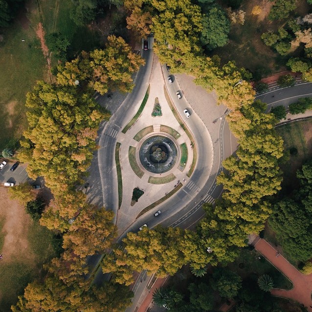
Aerial Inspection & Analysis

Infrastructure inspection, powerline inspection, wind turbine inspection, solar panel inspection, bridge inspection, railroad track inspection, etc. are all included in our list of aerial inspection services. Visual and thermal examination to identify, monitor, and assess any harm done to the asset​​

pexels-mehmood-yousafzai-2730356

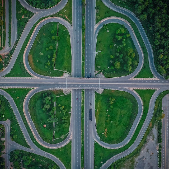
Surveying / Mapping

We offer GIS, drone survey, land survey, stockpile volumetric analysis, slope monitoring, LIDAR, contours, and urban planning services. Orthomosaic maps, 3D point clouds, DEMs, DTMs with centimeter-level accuracy, and 99% precise volumetric analysis and measurement are just a few of the many deliverables available.

pexels-rick-han-2793440

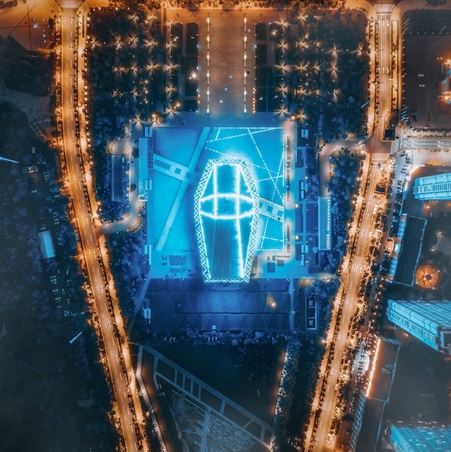
Creative Marketing Content

We produce spectacular cinematic aerial drone footage for commercial real estate videography and sports event coverage using our expert aerial photography drone and editor.​​

pexels-rahul-shah-2268487

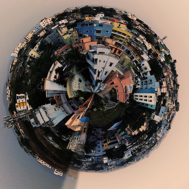
360° Virtual Tours Creation

Stunning 360-degree panoramic pictures were taken using our flying platforms. We produce incredibly detailed panoramas that look stunning when shown on walls or seen fully in virtual reality.

1. Aerial Inspection & Analysis

Take use of aerial drone inspection to improve productivity, increase safety, and reduce asset risk.

Power Line Inspection

We can identify tower concrete basement faults, insulator overheating, wire overheating, wire breakage, tower mechanical defects, wire sag estimation, etc. with a high degree of precision using our drone-powered aerial inspection. Due to the ferro-magnetic protection that our Powerline Inspection drones have, they may safely fly close to powerlines.

Gas & Oil Pipeline Inspection

In comparison to conventional methods, we provide aerial gas and oil pipeline inspection, which is significantly safer and quicker. We assist oil and gas industries with a variety of tasks, including pipeline route selection, elevation monitoring, above-ground pipeline asset inspection, spill monitoring, pipeline leakage detection, and pipeline erosion detection.

Wind Turbine Inspection

With our cutting-edge drone turbine and blade inspection services, we assist our wind farm clients in increasing productivity, decreasing downtime, and improving the safety of their turbines. We can inspect up to 10 cm within a wind turbine blade using sophisticated and highly skilled drone pilots, and we can spot problems as small as 5 mm.

Solar Panel Thermal Inspection

Through our cutting-edge drone solution, we assist our solar farm clients in getting the most out of their solar farms in terms of efficiency, energy production, and return on investment. We assist our clients in identifying cell failure, solar cell degradation, a decline in operating efficiency, etc. using data from our drones. High-quality thermal sensors are used in our drones to provide the best inspection service.

Railway Track Inspection

The best method for routine maintenance and inspection of heavily used railroad rails is by drone. Complex train component inspections are performed on things like switch motors, points levers, point machines, conversion facings, point locks, joints, guard rails (check rails), etc.

Bridge Inspection

It is highly simple to inspect a busy railroad or highway bridge using aerial inspection in less time and for less money. High-end drones are used by our skilled drone operators to gather excellent aerial data for thorough inspections. We conduct aerial inspections while maintaining crew and public safety.

Monument Inspection

To maintain our country's heritage and history, it is essential to preserve historic structures and monuments. High-quality data from aerial drone inspection makes it feasible to thoroughly and accurately inspect the structure. The structural integrity of the buildings and monuments is monitored with the use of periodic aerial inspection.

Cell Tower Inspection

Cell phone firms can identify structural deterioration, potential hazards, damage to cell tower equipment, and other issues by using our aerial inspection service for cell towers. Our data enables companies to lower operational errors and boost productivity at a lesser cost.

2. Surveying and Mapping

Our Aerial Drone Surveying / Mapping strategies lets in you Conduct quicker surveys. Monitor extraction volumes everyday. End cloth pilferage. Cut down on hard work costs. Improve operational efficiency. Maximize profitability.

What we provide,

  • Orthomosaic maps
  • 3D point cloud
  • Digital surface models (DSM)
  • Digital Elevation Model (DEM)
  • Digital Terrain Model (DTM)
  • CONTOUR MAPS
  • 3D Textured Maps
Urban & smart city Planning

Drones are now widely used in urban planning thanks to incredible advances in drone technology. Due to AI processing and machine learning, we can quickly and affordably collect large amounts of data through drone surveying. In order to plan and assess the current social and environmental situations at the sites, we have fervently donated our expertise to several private builders and governmental organisations. High-resolution aerial data, LIDAR surveys, and other important information were all obtained using cutting-edge drone technology, which is a prized contributor to our success.

Slope Monitoring

Geologic hazards like slope failure must be identified quickly in order to maintain safety. Our professionals correctly identify the slope of the ground's surface utilising the Digital Terrain Model (DTM) and Digital Surface Model during the slope monitoring procedure of GIS mapping (DSM). Slope monitoring, landslide mitigation, and slope collapse prevention require this information in addition to the LIDAR survey data. An additional useful technique used by experts to monitor the Earth's motion and aid in the prediction and averting such catastrophe is aerial survey mapping.

Land Surveying

With the help of our specialised and nationwide drone surveying service, we can obtain accurate topographic maps and 3D models of inaccessible locations for use as evidence. Large-scale topographical and land surveying provide for the fastest, easiest representation of cadastral maps with the greatest degree of accuracy. A detailed Digital Elevation Model (DEM), Digital Terrain Model (DTM), contours, brake lines, ortho-mosaic/ortho-imagery, interactive 3D Mode, and 3D reconstructions of land sites or buildings are produced once the data has been post-processed by our GIS team using photogrammetry software.

Stockpile Volumetric Measurements

In the sector, using drones to measure stockpiles is common and typical. Due of their irregular shapes, standard approaches are unable to detect the numerous topographic data points that our pilots can collect using their very precise surveying drones for Stockpile analysis. All these fluctuations can be captured and represented by surveying as the shape's real volume, not simply an estimate. With an accuracy rate of close to 99%, we strategically and effectively supply photogrammetric data through contouring, digital surface models, stockpiles such garbage, mines, inventory, agricultural, etc., and volume measurements.

3. Creative Marketing Content

Drone fly-over films are a stunning manner to illustrate the sheer length and scale of your development. Showcase your business in the spotlight to sell faster and sell smarter

Aerial Photography

We provide breathtaking 20MP excessive decision Aerial Photographs of customers property and belongings with the assist of expert drone cinematographers. Our Drone Cinematographers take the Image as in step with our customers quit necessities like Residential pictures or Hotel Resorts Photography. Our pilots are very innovative and recognize our customers quit necessities and supply the same.

Aerial Videography

Our 4K-succesful drones are capable of taking lovely photographs and films, highlighting all information of your scene. Equipped with more than one collision sensors lets in for complicated and excessive velocity movements. Our Drone cinematographer captures lovely Drone films in line with our client`s necessities the use of our excessive-End Filmmaking Drones. Our video editors group makes Drone films appearance greater attractive and assist our customers to deliver greater clients and growth revenue.

4. 360° Virtual Tours Creation

We utilize our technology to convert  our clients to 3D. We put together a collection of excellent photos to produce a 360-degree virtual tour of any building. A visitor to your site can quickly navigate through the building, infrastructure, and interiors thanks to our innovations. We have a team of experts who can guarantee that your prospective buyers have the greatest possible navigational experience when viewing the property.

Dronaa Ibx 3D Virtual Tour Creation Services include –

  • Real Estate 3D Virtual Tour Creation
  • Hospital 3D Virtual Tour Creation
  • 3D Virtual Tour for Hotels
  • 3D Virtual Tour for Schools
  • Museum 3D Virtual Tour