Industries
Save time, boost productivity, and guarantee safety in any business. With Dronaa Ibx, you can master the game of data acquisition and broaden your horizons.

Real Estate
Real estate is gradually moving into a more creative and technical environment. Regardless of the features of the property, drone technology can safely and precisely take mesmerising pictures and films. In the business, a "birds-eye vision" is regarded as a priceless marketing tool. Magnificent vistas, interesting perspectives, and cutting-edge technical advancements are always strong selling points. Drones are capable of producing stunning images, cutting-edge virtual tours, and 360-degree panoramas.
Transportation
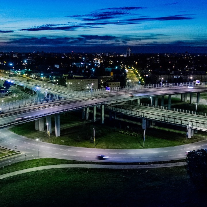
A cutting-edge drone solution for the railroad and transportation sectors is provided by Dronaa Ibx. We have assisted numerous entities involved in the planning, oversight, and inspection of projects involving the construction of roads and railroads. We use high-end surveying drones with high resolution sensors for superior Data quality and up to centimeter-level precision when doing aerial surveys, inspections, and monitoring. Our highly accurate aerial survey data, such as orthophoto, elevation models, terrain models, 3D models, and thermographic data, is provided for railway and highway projects to help maximise efficiency and ensure accountability. Our aerial inspection service for the infrastructure of roads and railroads covers inspections of bridges, roads, railroad tracks, and other railroad assets.
Renewable energy
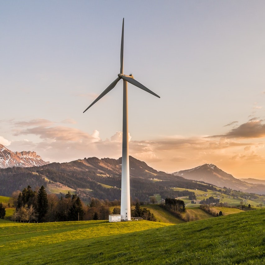
The drone survey industry is thriving in the renewable energy sector thanks to a love of technology and a desire to help other businesses. Securing the quality of the solar power plant is essential for sufficient electricity generation, cost savings, and maintaining the asset's long life. In order to ensure the security and efficient operation of these solar systems, we provide timely thermal imaging (Aerial Solar) Inspections for Solar Power Plants. The main goal of our use of thermal mapping is to identify any faults or damage to the solar panels so that owners can ask the manufacturers for a warranty or replacement. For thorough solar panel examination, drone surveys and UAV inspections offer data of the highest quality.
Mining
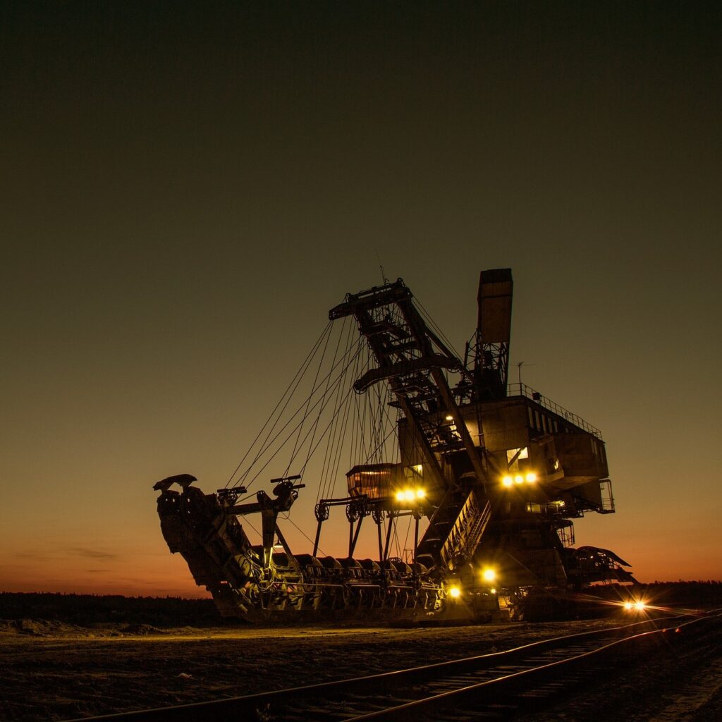
Aerial Mapping / Surveying for Mining Sites is offered by Dronaa Ibx using cutting-edge drone technology. With great success, we have worked with both public and private businesses to increase the productivity and efficiency of big mine sites. We even provide speedy, precise, and in-the-moment stockpile management for project managers. Smart management enables businesses to monitor stockpile management, mining operations, haul road optimization, water and sediment movement, mining exploration, mine blast evaluation, etc. in addition to 30x faster data gathering and 100% safety Drone Powered Surveys. The data is intensified by our GIS professionals, who then present it as Geotagged 3D maps, Contour lines, 3D Point clouds, Digital Elevation Models (DEM), Digital Terrain Models (DTM), or Digital Surface Models (DSM).
Utilities
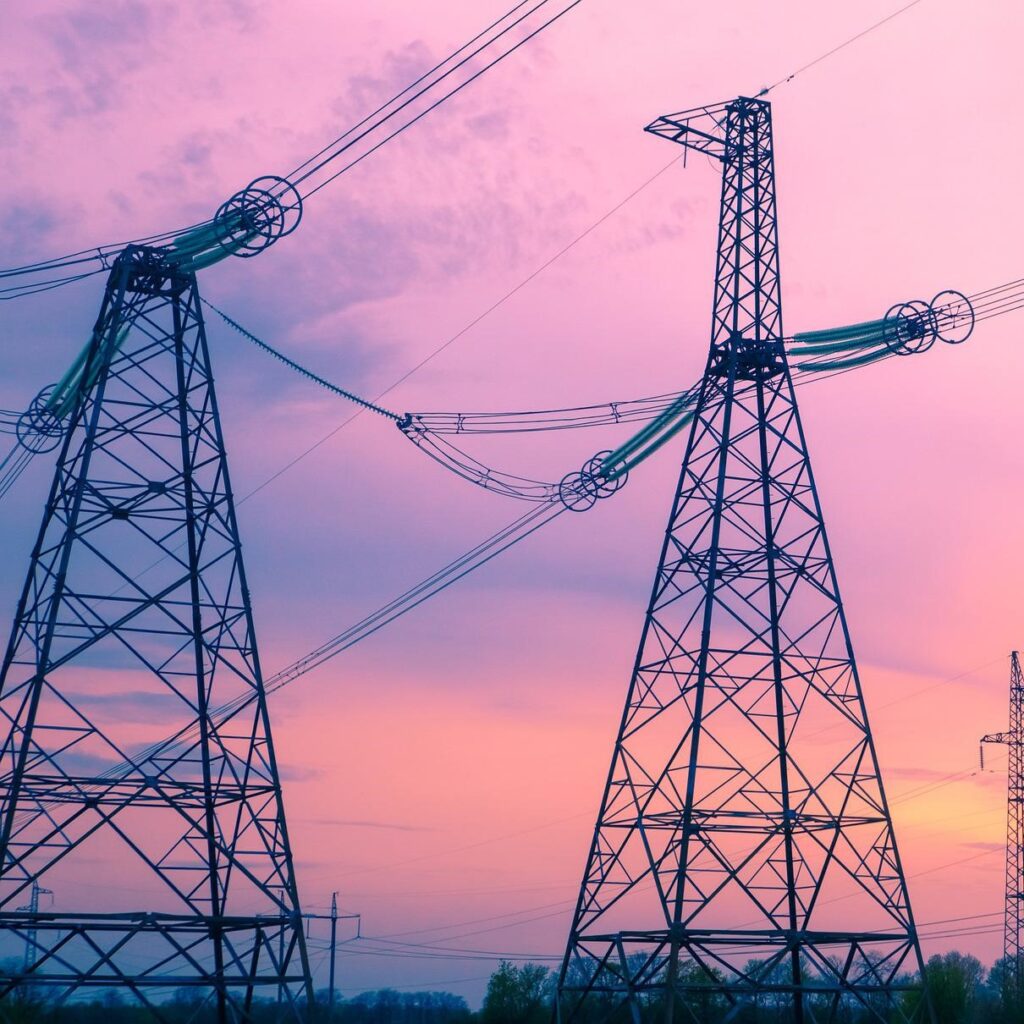
For inspections of powerlines, transmission towers, substations, cooling towers, etc., Dronaa Ibx manifests drone-powered solutions. We use drones equipped with thermal and infrared sensors for aerial inspection, putting quality and efficiency first. Our drone operators are a key contributor to our performance because they have received specialised training for powerline and cooling tower inspections. With the aid of thermal imaging sensors, they can see and identify harm done to these facilities. Thermal imaging sensor-assisted survey drone services enable a more thorough and in-depth analysis of such utilities. It offers a wide range of advantages, such as improved operating efficiency, reduced downtime, improved data output, and enhanced safety.
Infrastructure
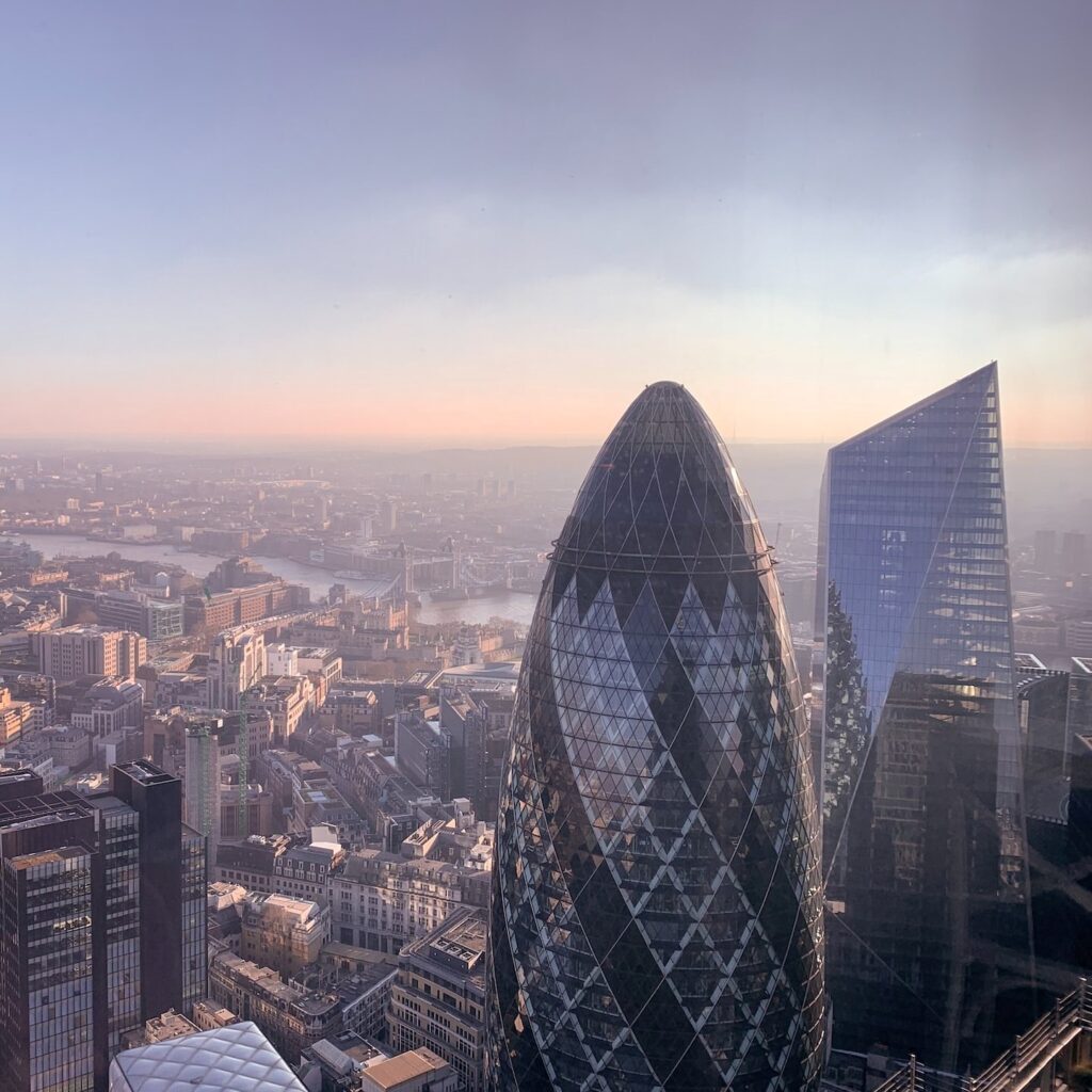
With us, you can quickly compile significant volumes of real-time data as drone surveying paves the way for established urban planning. As we designed and analysed current social and environmental issues, government agencies and business developers profited from our vast aerial mapping services and cutting-edge UAV technology. Aerial photography has been used in environmental and agricultural conservation programmes as well. We have helped municipal planners, architects, tax collectors, landscapers, and administrators acquire data by using 3-D surveying. With the help of the appropriate sensors and our UAV technology, we can obtain precise topographical data that motivates clients to consider energy efficiency, project progress monitoring, sewage design, utility establishment, and the detection of unauthorised structures and encroachments, among other things.
Agriculture
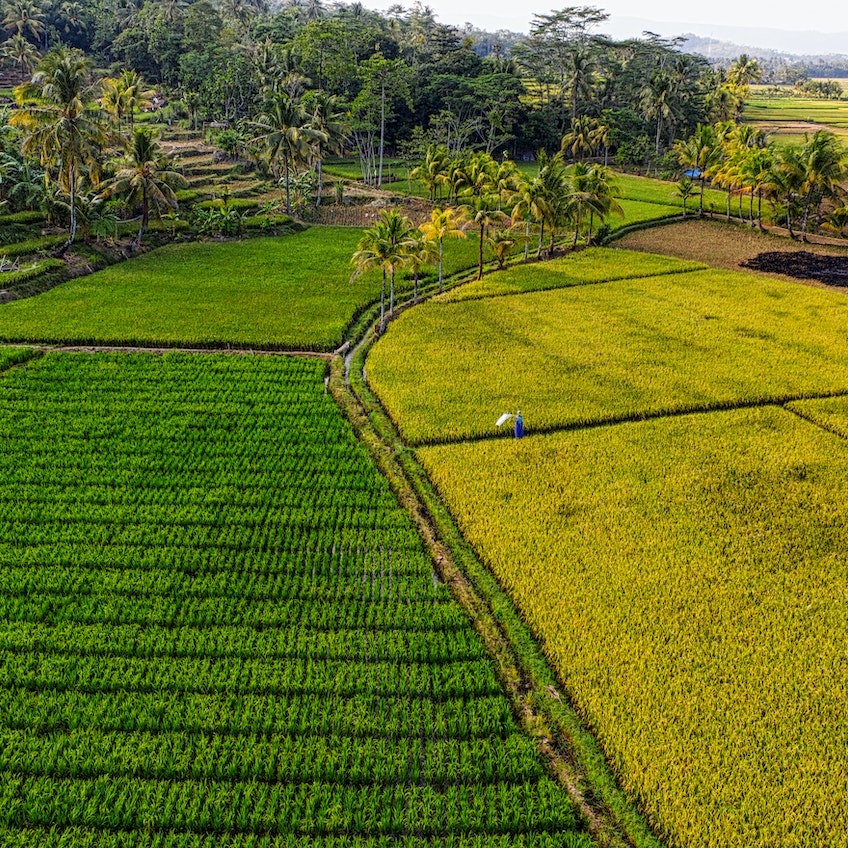
We provide farmers drone-powered solutions to boost productivity in a variety of farming operations, including precision farming, livestock management, pesticide application, crop stress identification, treatment planning, plant growth monitoring, and scouting. To get exact data, we employ high-tech aerial surveying drones fitted with cutting-edge RGB and multispectral sensors. For crop yield estimates, an accurate crop count, crop emergence analysis, irrigation monitoring, crop health, crop damage assessment, field soil analysis, and other purposes, we combine UAV aerial imagery with machine learning systems. Crops are protected by high-quality drone data and photogrammetry to ensure productivity and provide farmers with all available benefits.
Oil and gas
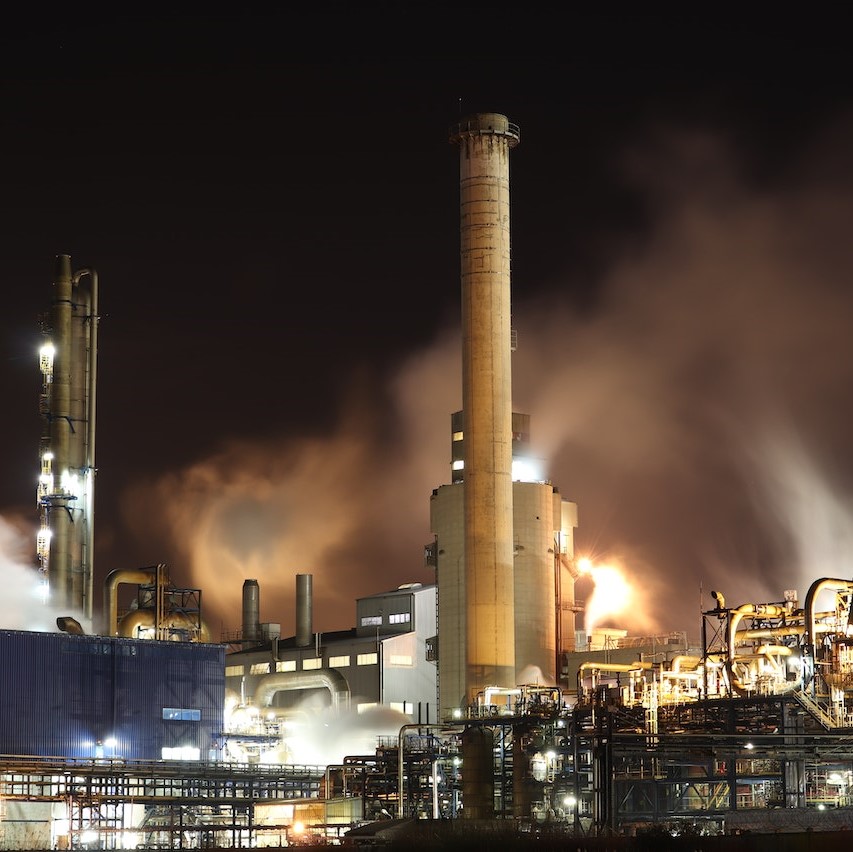
The oil and gas sector, which epitomises integrity, actively involves the containment of oil mines and wells both on and off land, as well as the optimum use of beneficial natural resources and the corresponding rights. Among other factors, the use of drones and unmanned aerial vehicles (UAV) has elevated the oil and gas industry's status. Drones fundamentally provide better image quality, less downtime, and accurately measured and angled photos, among other benefits, because to their personality mainly based on aerial photography and thermography. Storage Tanks, Offshore Rigs, Refineries, Chimney/Smoke Stacks, and other industries are included in this subject's scope of work.
